This is a carousel with tiles that activate property listing cards. Use the previous and next buttons to navigate.
1/20
$45,000
This is a carousel with tiles that activate property listing cards. Use the previous and next buttons to navigate.
1/20
Property Description
Imagine waking up to mountain views on your own piece of paradise in the private, secure, gated community of River Crest. Lot #10 is a buildable 1.67 acre lot that would require minimal grading making it easy to build your custom home. The lot features a gentle slope, starting level at the road frontage, making it easy to build your custom home. Easy access off a state maintained road with excellent internal roads throughout the community & underground utilities already in place. An exclusive common area joins the beautiful Toe River. Spend your days relaxing, trout fishing, tubing, or kayaking right from your neighborhood. Located 9.2 miles to downtown Burnsville, 1 hr to Asheville. Adventure awaits at nearby destinations like the Dark Sky Observatory, Appalachian Trail, Mount Mitchell State Park & Blue Ridge Parkway. Don't just buy land-buy a lifestyle. Come sit back, relax, and enjoy the beauty surrounding you in the mountains of WNC! Showings by Appointment Only. Gate Code needed for access
Full Property Details
Full Property Details for 00000 High Peak Ridge #10
General
- Price: $45,000
- HOA FEE: $28/month
- HOA FEE FREQ.: Annually
- Status: Active
- Type: Lots/Land
- Source: Charlotte_Regional_Realtor_Association
- MLS ID: 4322720
- Updated: 11/21/2025
- Added to Site: 135 day(s) ago
Additional Information
- Shared Amenities: Other
Location
- County: Yancey
- Subdivision: River Crest
- Driving Directions: From Burnsville traveling on Hwy 19E toward Spruce Pine turn right at light on Micaville Loop Rd then left on Double Island Rd for approximately 3.5 miles to right turn at River Crest Subdivision. Gate code needed to enter. You will be on High Peak Dr. When road forks continue straight & follow High Peak Ridge to cul de sac & Lot 10 will be on your left.
Utilities
- Sewer: Septic Needed
- Water: Well Needed
- Utility Description: Underground Utilities
Lot Features
- Street/Road Desc.: Gravel
- Elevation (Approx.): 2500
- Lot Features: Hilly, Level, Private, Rolling Slope, Sloped, Wooded, Views
Financial Considerations
- Association Fee: $330
- Assoc Fee Freq.: Annually
- Terms: Cash, Conventional
Disclosures and Reports
- Restrictions: Square Feet, Subdivision
- Property ID: 85100009897
- Lot Number: 779/731
Listed by Re/Max Results
Get Pre-Approved Today
Price & Sales History for 00000 High Peak Ridge #10
Date
Details
Price
Change
Source
11/20/2025
Listed
$45,000
—
MLS
Disclaimer: Historical sales information is derived from public records provided by the county offices. Information is not guaranteed and should be independently verified.
Tax History
Tax History for 00000 High Peak Ridge #10
Year
Property Taxes
Change
Tax Assessment
Change
2025
$276
—
$46,700
—
2024
$276
158%
$46,700
194%
2023
$107
—
$15,900
—
2022
$107
—
$15,900
—
2021
$107
-66%
$15,900
-66%
2019
$311
—
$46,400
—
2018
$311
2%
$46,400
—
2017
$306
—
$46,400
—
2016
$306
371%
$46,400
300%
2015
$65
—
$11,600
—
2014
$65
—
$11,600
—
Disclaimer: Historical tax information is derived from public records provided by the county offices. Information is not guaranteed and should be independently verified.
Estimate the Cost
Estimate the Cost for 00000 High Peak Ridge #10
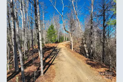
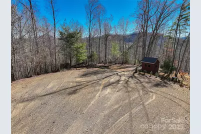
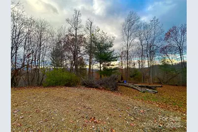
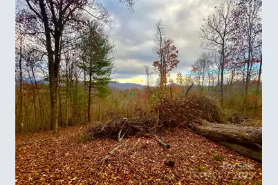
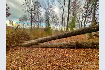
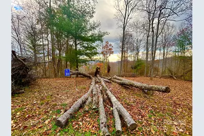
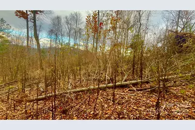
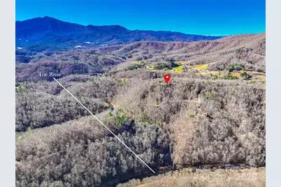
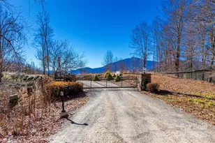
00000 High Peak Ridge #10, Green Mountain, NC 28740 (MLS# 4322720) is a Lots/Land property with a lot size of acres. 00000 High Peak Ridge #10 is currently listed for $45,000 and was received on November 20, 2025. Want to learn more about 00000 High Peak Ridge #10? Do you have questions about finding other Lots/Land real estate for sale in Green Mountain? You can browse all Green Mountain real estate or contact a Coldwell Banker agent to request more information.
