Date
Details
Price
Change
Source
3/27/2025
Listed
$1,700,000
—
MLS
Disclaimer: Historical sales information is derived from public records provided by the county offices. Information is not guaranteed and should be independently verified.
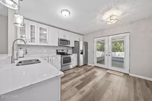
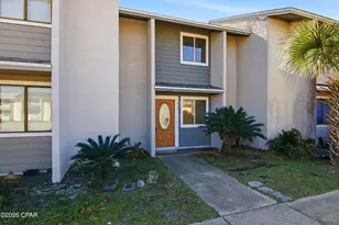
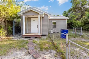
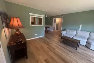
This is a carousel with tiles that activate property listing cards. Use the previous and next buttons to navigate.

$1,700,000
This is a carousel with tiles that activate property listing cards. Use the previous and next buttons to navigate.
Listed by Keller Williams Realty SRB
Keller Williams Realty SRB
This is a carousel with tiles that activate property listing cards. Use the previous and next buttons to navigate.

This is a carousel with tiles that activate property listing cards. Use the previous and next buttons to navigate.
This is a carousel with tiles that activate property listing cards. Use the previous and next buttons to navigate.
Xxxx E Highway 20, Freeport, FL 32439 (MLS# 972292) is a Residential Lots property with a lot size of 105 acres. Xxxx E Highway 20 is currently listed for $1,700,000 and was received on January 15, 2026. Want to learn more about Xxxx E Highway 20? Do you have questions about finding other Residential Lots real estate for sale in Freeport? You can browse all Freeport real estate or contact a Coldwell Banker agent to request more information.