


Date
Details
Price
Change
Source
4/11/2026
Listed
$50,000
—
MLS
Disclaimer: Historical sales information is derived from public records provided by the county offices. Information is not guaranteed and should be independently verified.
This is a carousel with tiles that activate property listing cards. Use the previous and next buttons to navigate.

$50,000 Just Listed
This is a carousel with tiles that activate property listing cards. Use the previous and next buttons to navigate.
Listing Courtesy of: Coldwell Banker High Country
Coldwell Banker High Country
This is a carousel with tiles that activate property listing cards. Use the previous and next buttons to navigate.

This is a carousel with tiles that activate property listing cards. Use the previous and next buttons to navigate.
![]()
Listings identified with the FMLS IDX logo come from FMLS, are held by brokerage firms other than the owner of this website and the listing brokerage is identified in any listing details. Information is deemed reliable but is not guaranteed. If you believe any FMLS listing contains material that infringes your copyrighted work, please click here to review our DMCA policy and learn how to submit a takedown request. © 2026 First Multiple Listing Service, Inc. Last Updated Apr 11 2026 6:58PM
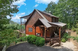
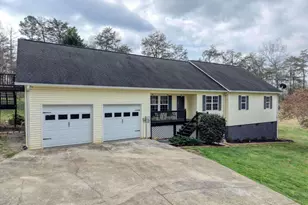
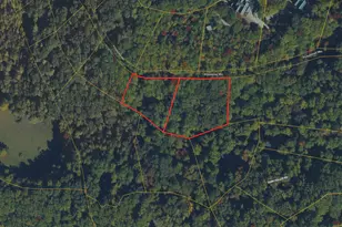
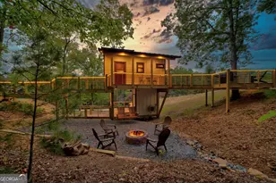
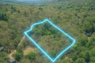
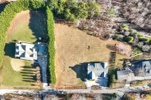
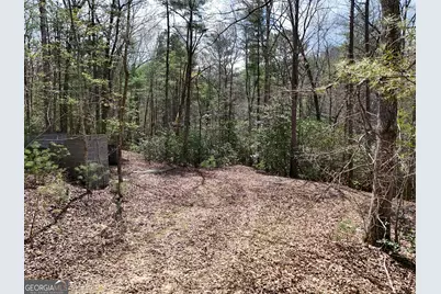
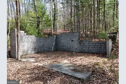
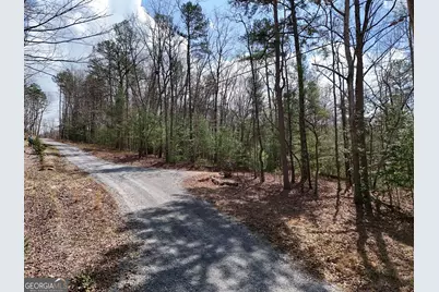
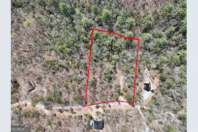
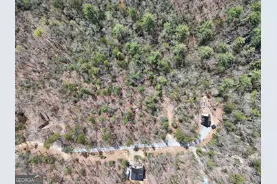
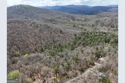
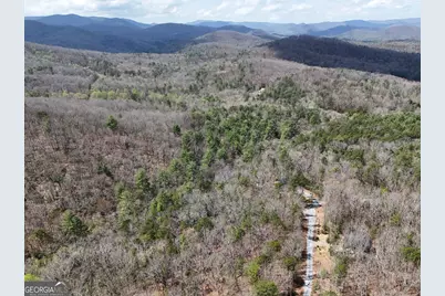
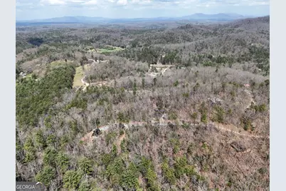
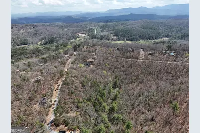
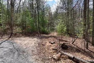
Lt 117 Laurel Trace, Blue Ridge, GA 30513 (MLS# 10730335) is a Land Residential property with a lot size of 1.74 acres. Lt 117 Laurel Trace is currently listed for $50,000 and was received on April 11, 2026. Want to learn more about Lt 117 Laurel Trace? Do you have questions about finding other Land Residential real estate for sale in Blue Ridge? You can browse all Blue Ridge real estate or contact a Coldwell Banker agent to request more information.