This is a carousel with tiles that activate property listing cards. Use the previous and next buttons to navigate.
$199,900 -$70,000 (-25.94%) Price Reduced
This is a carousel with tiles that activate property listing cards. Use the previous and next buttons to navigate.
Full Property Details for 680-2 John Stark Hwy #234/34
General
- Price: $199,900
- Taxes: (2024)
- Status: Active
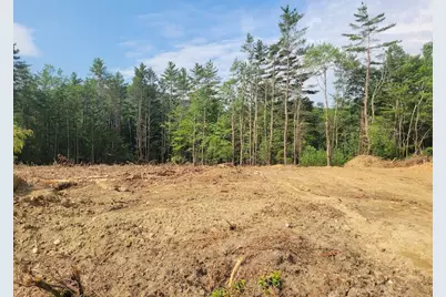
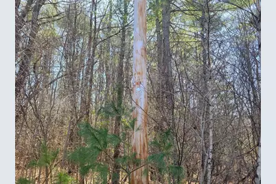
- Type: Agricultural Land
- Source: PrimeMLS
- MLS ID: 5037992
- Updated: 1/16/2026
- Added to Site: 268 day(s) ago
Location
- County: Sullivan
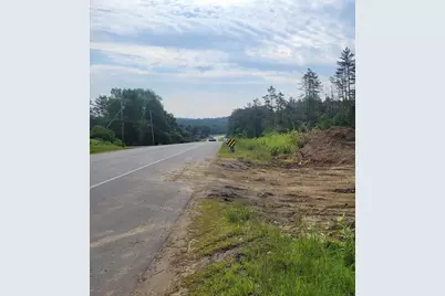
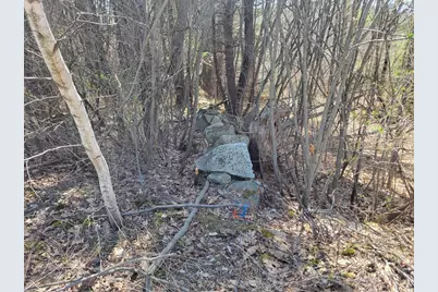
- Driving Directions: At Main St & John Stark Highway traffic lights (RiteAid & Irving) go west on Rt 103/11 aka John Stark Highway 3 miles. Bremco sign at entry on left, lot on left after sign, just before open curb cut, see stone wall
Utilities
- Sewer: None
Lot Features
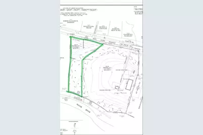
- Lot Size (Acres): 6.03
- Lot Size (Sq. Ft.): 262,667
- Frontage: Yes Road Frontage
- Frontage Feet: 550
- Zoning: commercial/industrial
Financial Considerations
- Tax Year: 2024
Listed by BHHS Verani Concord, Tami J Mousseau
Price & Sales History for 680-2 John Stark Hwy #234/34
Estimate the Cost for 680-2 John Stark Hwy #234/34
680-2 John Stark Highway #234/34, Newport, NH 03754 (MLS# 5037992) is a Agricultural Land property. 680-2 John Stark Highway #234/34 is currently listed for $199,900 and was received on April 25, 2025. Want to learn more about 680-2 John Stark Highway #234/34? Do you have questions about finding other Agricultural Land real estate for sale in Newport? You can browse all Newport real estate or contact a Coldwell Banker agent to request more information.

