


Date
Details
Price
Change
Source
5/30/2026
Listed
$525,000
—
MLS
Disclaimer: Historical sales information is derived from public records provided by the county offices. Information is not guaranteed and should be independently verified.
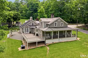
This is a carousel with tiles that activate property listing cards. Use the previous and next buttons to navigate.

$525,000 Just Listed
This is a carousel with tiles that activate property listing cards. Use the previous and next buttons to navigate.
Listed by Drakeley Real Estate, Inc., Kat Parlato
Kat Parlato
Drakeley Real Estate, Inc.
Agent Contact: (203) 592-0443 Office Contact: (203) 263-4336
| Name | Grades | Distance |
|---|---|---|
Kent Center School 9 Judd Avenue, Kent, CT 06757 | PK-8 | 3.6 mi |
Housatonic Valley Regional High School 246 Warren Turnpike Rd., Canaan, CT 06031 | 9-12 | 13.4 mi |
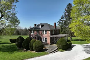
This is a carousel with tiles that activate property listing cards. Use the previous and next buttons to navigate.
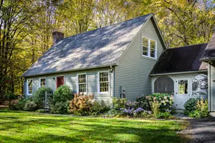
This is a carousel with tiles that activate property listing cards. Use the previous and next buttons to navigate.

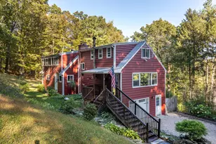
This is a carousel with tiles that activate property listing cards. Use the previous and next buttons to navigate.
This is a carousel with tiles that activate property listing cards. Use the previous and next buttons to navigate.
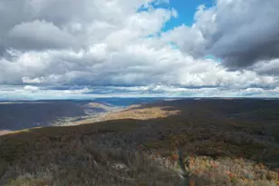
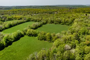
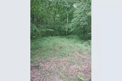
Mount Mauwee Road, Kent, CT 06757 (MLS# 24179753) is a Land Residential property with a lot size of 8.22 acres. Mount Mauwee Road is currently listed for $525,000 and was received on May 30, 2026. Want to learn more about Mount Mauwee Road? Do you have questions about finding other Land Residential real estate for sale in Kent? You can browse all Kent real estate or contact a Coldwell Banker agent to request more information.